DCS AN: Mobile crop-survey app for field enumerators
DCS AN, from MINISTRY OF AGRICULTURE, digitizes crop-survey data collection in the Andaman and Nicobar Islands for government field operations. The app lets enumerators record standing crops, crop varieties, and irrigation methods with GPS-tagged entries and optional photo evidence on Android devices. It synchronizes submitted records to national agricultural databases and links into the AgriStack initiative. Designed for designated surveyors and village assistants, it aims to improve data integrity for planning and targeted scheme delivery.
The app turns on-site observations into verifiable agricultural records
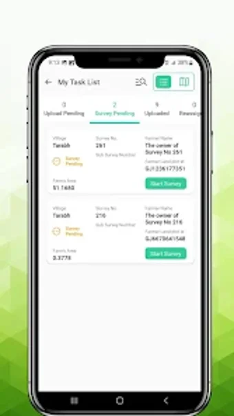
Field teams can use the tool to record both agriculture and non-agriculture plot data, specifying crop types and varieties alongside irrigation details. The submission model is form-driven, so each plot yields structured entries rather than freeform notes, which supports later data aggregation and government reporting. Use in the islands focuses on producing authoritative survey records for planning and relief operations.
The workflow covers plot identification, entry, and verified location capture
Enumerators capture plot information on Android devices with GPS location verification and optional photographs, creating a linked record for each visit. The app enforces geo-tagging at the point of entry, which reduces ambiguity about plot boundaries and helps administrators match field reports to mapped farmland. This on-device process supports routine field rounds and sequential plot visits.
Designed for designated officials, not general consumers, with an operational learning curve
The app targets government surveyors, village-level assistants, and authorized enumerators, so onboarding expects familiarity with official survey duties and access permissions. Required hardware features include GPS capability and a camera, which shapes deployment planning in remote areas. Training can focus on correct plot identification, location checks, and using the form workflow rather than general app navigation.
The tool integrates with government systems to enable verified data reuse
Submitted records synchronize in real time with government agricultural databases and are officially linked to the national AgriStack project, so data captured in the field becomes part of a verified source for downstream programs. That integration supports policy planning, disaster response, and targeted distribution of agricultural schemes by making field entries usable across administrative systems.
The app fits public-sector field teams, though it is narrowly targeted
The app is a practical option for government enumerators who need authoritative, location-verified crop records and formal data submission into public agricultural systems. Its narrow focus on official workflows and requirement for authorized use mean it is not intended for broad consumer adoption or casual data-gathering. For teams executing mandated surveys, it supports reliable operational reporting; for other users, the app’s scope is limited.